
Hyperspectral Imaging for Mineral Exploration: Mineral Identification, Mapping and Geological Analysis
From mineral identification to alteration mapping and UAV-based geological surveys, hyperspectral imaging provides spectral information that conventional imaging cannot capture.

Why Hyperspectral Imaging Matters for Mineral Exploration
Rocks and minerals that appear similar in conventional RGB images can exhibit significantly different spectral responses outside the visible range. This difference provides valuable information for geological investigation and mineral characterization.
A hyperspectral camera captures image data across many narrow wavelength bands, creating a three-dimensional dataset containing both spatial and spectral information. Instead of analyzing only the visible appearance of a rock, researchers can examine its spectral signature and compare it with known materials.
This makes hyperspectral imaging a powerful tool for mineral identification, mineral mapping, alteration analysis, drill-core inspection and large-area geological exploration.
From Spectral Signatures to Mineral Information
The key advantage of hyperspectral imaging is not simply the number of wavelengths captured. It is the ability to identify subtle spectral features that can help distinguish different geological materials.
Hyperspectral Data
Spectral Features
Mineral Signatures
Mineral Distribution
Choosing the Right Wavelength for Mineral Exploration
Wavelength selection is one of the most important considerations when building a hyperspectral imaging system. Different spectral regions provide different types of geological information.
| Spectral Range | Typical Information | Potential Applications |
|---|---|---|
| 400–700 nm | Visible color and surface characteristics | Surface characterization |
| 400–1000 nm | Visible/NIR spectral response | Iron oxide and geological surface analysis |
| 900–1700 nm | NIR/SWIR material characteristics | Mineral and geological analysis |
| 1400–2500 nm | Detailed SWIR spectral features | Clay, carbonate and alteration analysis |
| 400–2500 nm | Broad VNIR-SWIR coverage | Comprehensive geological characterization |
For many mineral exploration applications, SWIR and broad VNIR-SWIR coverage are particularly valuable because they provide spectral information useful for differentiating minerals and geological alteration features.
Key Applications of Hyperspectral Imaging in Mineral Exploration
1. Mineral Identification
Different minerals can exhibit distinctive spectral absorption and reflectance characteristics. Hyperspectral imaging allows researchers to collect these signatures together with spatial information.
By comparing measured spectra with reference spectral libraries, geological researchers can support the identification and classification of minerals in rock samples, outcrops and exploration areas.
2. Mineral Mapping and Alteration Detection
Hyperspectral imaging can extend mineral identification from individual samples to spatial mapping. Each pixel contains spectral information that can be analyzed to determine material classes and their distribution.
This approach can support mineral mapping, alteration-zone analysis and geological interpretation, helping researchers visualize where specific spectral signatures occur across a target area.
3. Drill Core and Rock Sample Analysis
Hyperspectral imaging can also be applied to geological samples and drill cores. Instead of relying only on visual inspection, researchers can create spatially resolved spectral datasets along the core or across individual rock samples.
- Drill-core analysis
- Rock sample characterization
- Mineral distribution analysis
- Alteration analysis
- Geological documentation
4. UAV-Based Geological Exploration
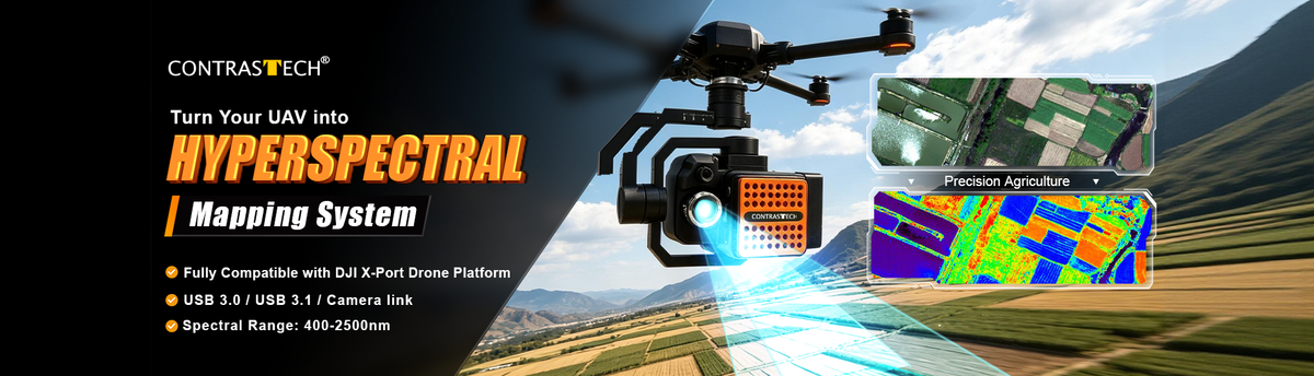
Integrating a hyperspectral camera with a UAV platform enables researchers to collect spectral information across large or difficult-to-access areas. This can support geological reconnaissance, surface mapping and exploration surveys.
Choosing a Hyperspectral Camera for Mineral Exploration
The ideal camera depends on the target minerals, required spectral range, spatial resolution, acquisition platform and application environment. Contrastech provides hyperspectral camera configurations covering different wavelength ranges and deployment scenarios.
iRx25VU06L
400–2500 nm | VNIR-SWIR Hyperspectral Imaging
A broad-range solution for applications requiring visible, NIR and SWIR spectral information, including geological imaging, mineral exploration and laboratory research.
SWIR Hyperspectral Cameras
SWIR configurations are suitable for applications where detailed spectral information in the NIR-SWIR or SWIR region is important for geological and mineralogical analysis.
UAV Hyperspectral Solutions
UAV-compatible hyperspectral cameras can extend spectral imaging from laboratory and benchtop environments to large-area geological and remote-sensing applications.
From Hyperspectral Data to Mineral Maps
01 — Capture
Acquire hyperspectral image data across the selected wavelength range.
02 — Calibrate
Apply appropriate radiometric and spectral correction procedures.
03 — Analyze
Extract spectral features and compare measured signatures with reference data.
04 — Classify
Identify and classify materials based on their spectral characteristics.
05 — Map
Convert classification results into spatial mineral or alteration maps.
06 — Interpret
Combine spectral information with geological knowledge to support exploration decisions.

Who Can Benefit from Hyperspectral Mineral Exploration?
Build Your Hyperspectral Imaging Solution
From SWIR mineral analysis to full VNIR-SWIR geological imaging and UAV remote sensing, choose the spectral range and camera configuration that matches your exploration requirements.
Explore Hyperspectral Cameras